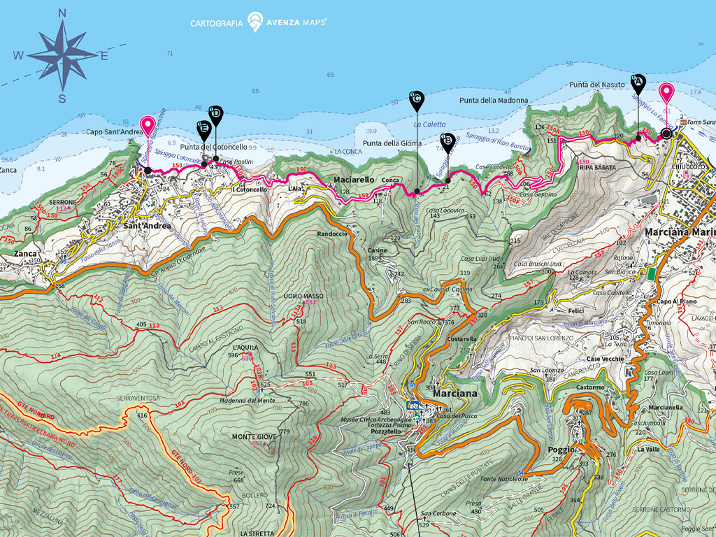
Departure:
Marciana Marina
Arrival: Sant'Andrea
Average time: 2
hours 30 minutes
Stage length: 6.1
km
Ascent: 374.9
mt
Descent: 371
mt
Maximum altitude:
146.6 m
Minimum altitude:
0.2 mt
Maximum slope:
58.4%
Trail difficulty:
Easy
Trail number: No.
150
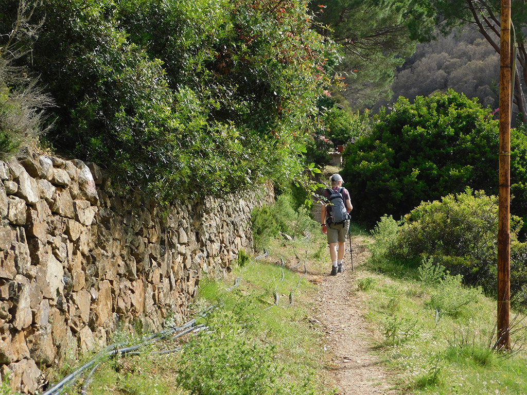
This trail coincides with path no. 150, linking the town of Marciana Marina with the village of Sant'Andrea, and is a panoramic hiking route overlooking the sea, following historic mule tracks and, in some sections, the more recent roadway serving several hamlets and villages dotted along the coastal slopes. It was once access route that connected the inhabitants dotted along the foot of Mount Capanne. In ancient times, these mule tracks ran past terraces, built for cultivating grapes, and some areas of holm oak (Quercus ilex) woods, used for producing coal and firewood.
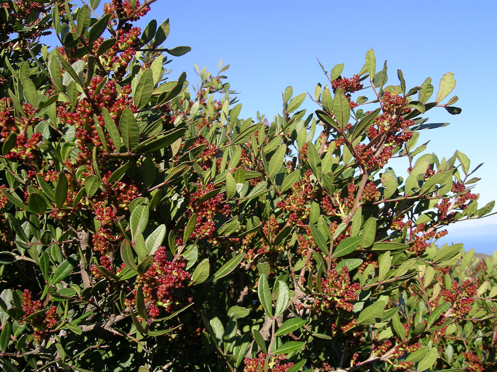
Both the terraces and the paths constructed on this slope are small masterpieces of spontaneous rural engineering which safeguarded the local area against the dangers of hydrogeological instability. Today, an aromatic Mediterranean maquis rich in rockrose, myrtle, broom, heather, holm oak woods and an abundance of lentisk - an evergreen shrub easy to spot along the route - has reclaimed the terraces once planted with grapevines, with spring blooms that paint these slopes and their distinctive granite rocks with colour.