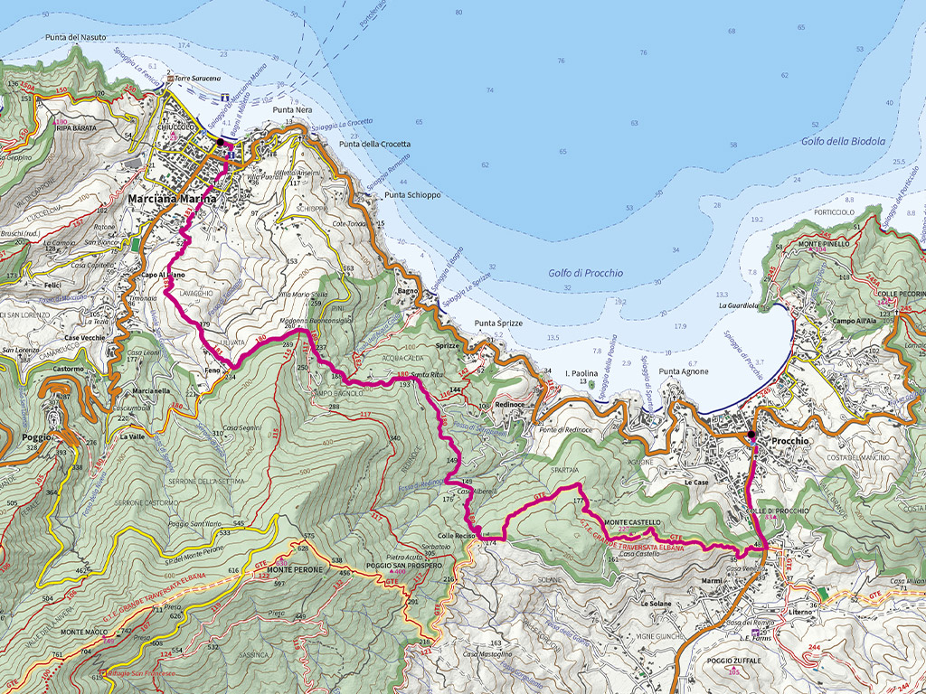
Departure:
Procchio
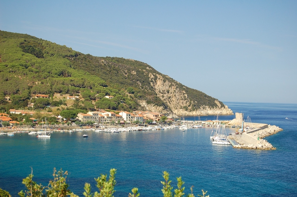
Arrival: Marciana Marina
Average time: 3
hours
Length: 10.2
km
Ascent: 464.8
m
Descent: 471.9
m
Maximum altitude:
264.9 m
Minimum altitude:
0.3 m
Maximum slope:
36.3%
Trail difficulty:
Challenging
Trail numbers:
GTE, No. 180, No. 181
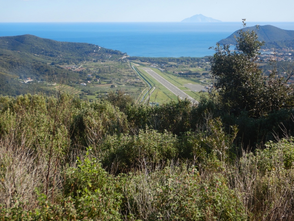
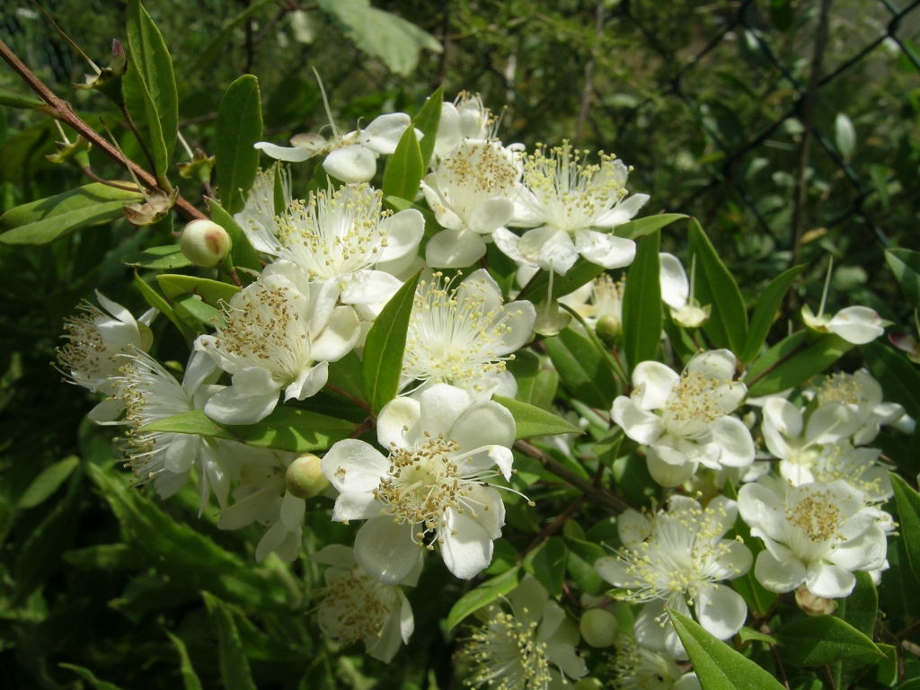
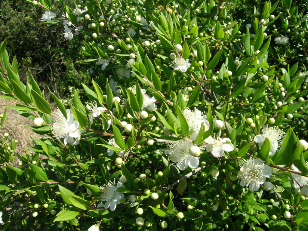
The trail leaves the village of Procchio and leads us along the provincial road towards Marina di Campo as fare as the Procchio hill area, where it takes the GTE, climbing steeply towards the first eastern foothills of the Capanne massif consisting of several hills including Monte Castello (227 metres above sea level), a scenic elevation on which we can observe the ruins of an Etruscan hill fort. The trail then enters dense, north-facing Mediterranean maquis before briefly returning to the south side.
Here, we take a wider cart track which leads us to the Colle Reciso fork (174 metres above sea level) where we turn right and head north, taking path 180. From here, the trail crosses the northern slopes overlooking Procchio bay and the Ligurian Sea, continuing along fairly wide, unsurfaced and sometimes uneven tracks, always immersed in dense vegetation. The route passes near the small Sanctuary of Santa Rita, a testament to the popular devotion of the farmers and shepherds who walked these ancient trails, before passing above the Acqua Calda area and approaching Campo Bagnolo. We then join the Via di Lavacchio, a surfaced road that passes in front of the chapel of the Madonna del Buonconsiglio, then continuing to a group of houses where we leave the surfaced road and descend on path no. 181.
We walk through the Lavacchio valley where the path gradually narrows, amid the dense Mediterranean maquis that now inhabits the terraced slopes once cultivated with grapevines, shrinking into a narrow pathway that ends close to the old chapel of San Giovanni, near the stream of the same name. From here, several narrow pedestrian streets lead us through the town to the seafront of Marciana Marina.