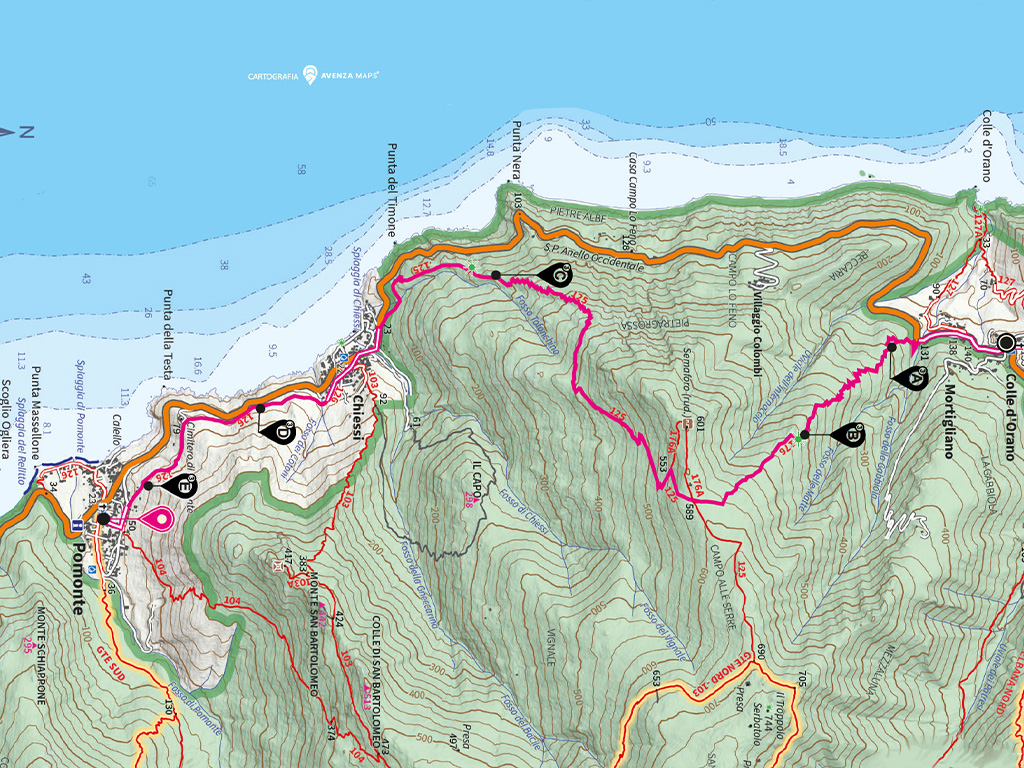
Departure:
Colle d'Orano
Arrival: Pomonte
Average time: 4
hours
Length: 7.8
km
Ascent: 578.5
m
Descent: 688.8
m
Maximum altitude:
588.4 m
Minimum altitude:
11.5 m
Maximum slope:
53.5%
Trail difficulty:
Challenging
Trail numbers: No.
176, 125, 126
This is one of the more challenging sections of the Via dell'Essenza. Indeed, due to the area's orographic features, our path is obliged to venture a little further away from the coastline, climbing onto the western slopes of Mount Capanne. After leaving the hamlet of Mortigliano, path no. 176 ascends steeply into a rich maquis covering old terraces that were once cultivated.
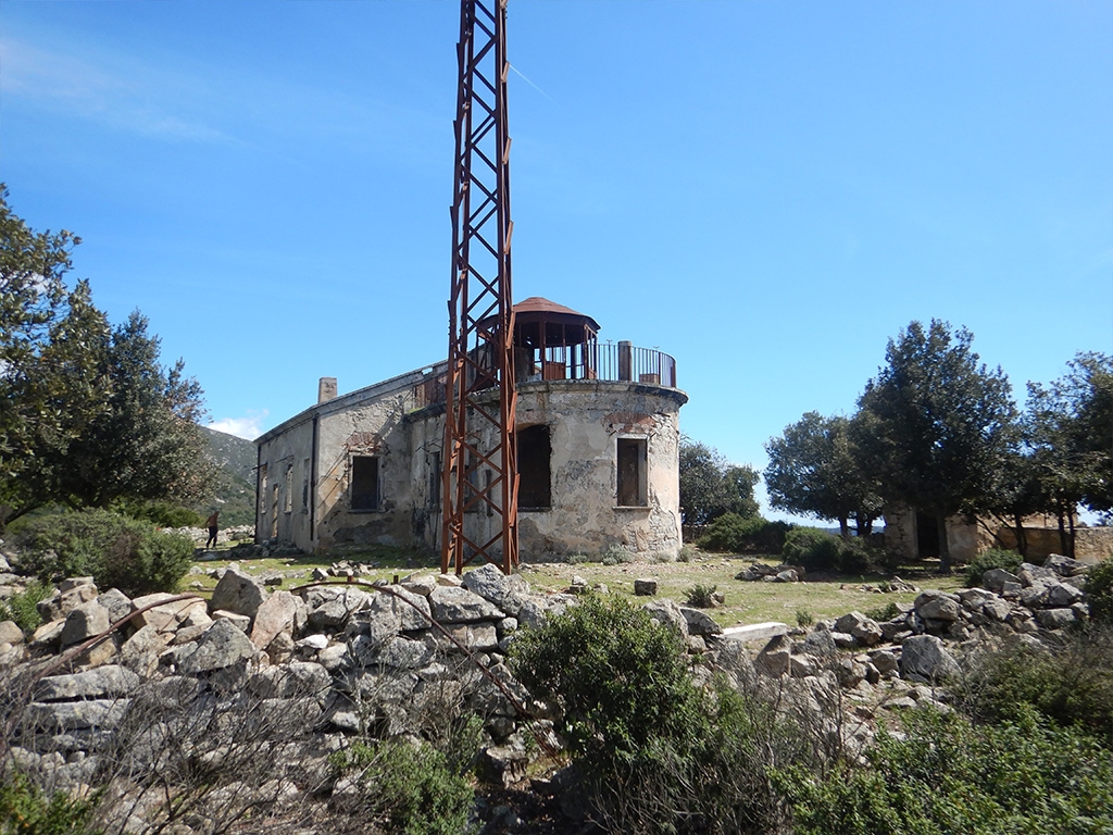
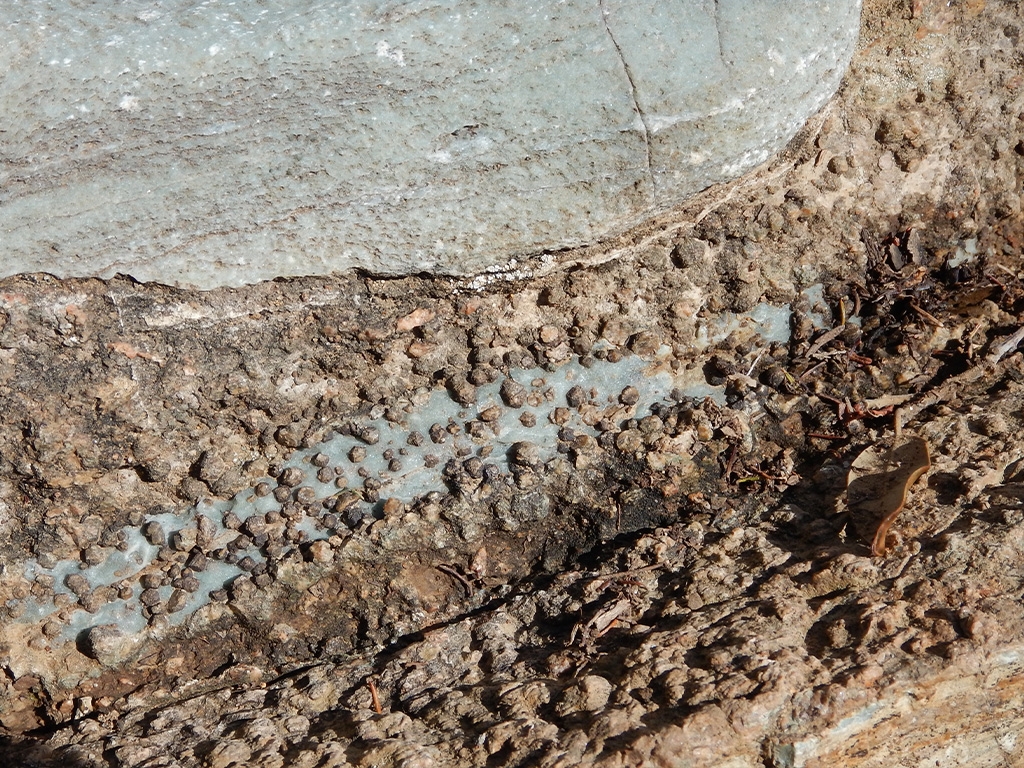
The path culminates at an altitude of about 590 metres, on the Campo alle Serre ridge, not far from the ruins of the old Italian Navy signal station, now abandoned. Our walk continues on path no. 125, descending immediately towards Chiessi along the mule track that once served the signal station, now deeply furrowed by the elements in places, its surface broken down by geological events affecting western Elba. Along the way, indeed, the effects of thermal metamorphism due to the rise of the Mount Capanne pluton are clearly visible.
In Chiessi, a picturesque hamlet in western Elba, we enter the settlement and take a mule track (path no. 126) which, overlooked from above by the granite monolith of San Bartolomeo hill and running just above the modern provincial road among old abandoned terraces, leads us to Pomonte.